|
|
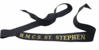 |
Royal Canadian Navy HMCS St Stephen Cap Tally Full Length |
$10.00 |
|
$10.00 |
|
|
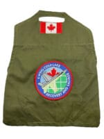 |
Canadian Forces 4 Wing RCAF Cold Lake Recovery and Salvage OD Green Brassard |
$30.00 |
|
$30.00 |
|
|
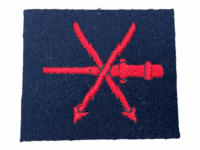 |
British RN Navy Gun Direction Sleeve Patch Insignia |
$10.00 |
|
$10.00 |
|
|
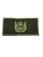 |
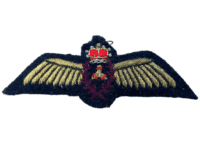
Canadian Forces Aircrew OD Green Wing |
$15.00 |
|
$15.00 |
|
|
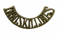 |
British Royal Inniskilling Fusiliers Brass Shoulder Title |
$20.00 |
|
$20.00 |
|
|
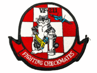 |
US USN Naval Aviator VF 211 Any Knight Baby Tomcat F-14 Patch |
$10.00 |
|
$10.00 |
|
|
 |
Canadian Forces RCAF Mini Mylar Flight Engineer Wing |
$10.00 |
|
$10.00 |
|
|
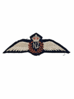 |
WW2 New Zealand Air Force RNZAF Pilots Wing Flat |
$225.00 |
|
$225.00 |
|
|