Lifetime Authenticity Guarantee
This World War II British Royal Air Force (RAF) map depicts the South Wales region and measures 23 inches by 32 1/2 inches. Prepared for military navigational and operational purposes, such maps were essential tools for aircrews, providing detailed topographical and geographical information relevant to mission planning and execution. The cartographic detail typically includes relief, waterways, towns, railway lines, roads, and other landmarks significant to wartime navigation. During WWII, RAF maps like this example were printed on durable paper and often carried in aircraft cockpits to assist aircrews in route finding, target identification, and emergency landings. This particular map offers insights into the strategic importance of South Wales in the broader context of RAF operations, including its industrial sites and transport networks. Such historical artifacts provide valuable documentation of wartime military geography as it was understood and utilized by British forces during the Second World War.

WW2 British RAF South Wales Map 23″ X 32 1/2″
$100.00
Availability: Only 1 left in stock
Related products
-
WW2 Militaria
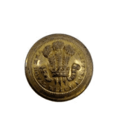
WW2 British Royal Welch Fusiliers Officers Large Size Jacket Button
$15.00 Add to cart