Lifetime Authenticity Guarantee
The WW2 British RAF Midlands South Map, measuring approximately 23 inches by 32 1/2 inches, is a cartographic document produced for use by the Royal Air Force during the Second World War. This map details the Midlands South region of the United Kingdom and was intended for operational planning, navigation, and mission execution by RAF personnel. It features topographical information, including towns, roads, railways, bodies of water, and notable landmarks relevant to military operations. Map legends, scale indicators, and grid references are typically present, facilitating precise navigation and coordination. The materials and printing methods reflect wartime production standards, which may include lightweight or fabric-based paper for ease of use and portability by aircrews. Such maps provide insight into the geographic considerations and logistical challenges faced by RAF units stationed in or operating over the British Midlands during the Second World War. This item is representative of the strategic mapping tools employed by Allied forces between 1939 and 1945.

WW2 British RAF Midlands South Map 23″ X 32 1/2″
$100.00
Availability: Only 1 left in stock
Related products
-
WW2 Militaria
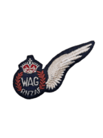
WW2 New Zealand Air Force RNZAF Wireless Air Gunner WAG Wing Padded
$125.00 Add to cart -
WW2 Militaria
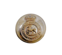
WW2 British Royal Warwickshire Regiment Officers Large Size Jacket Button
$15.00 Add to cart