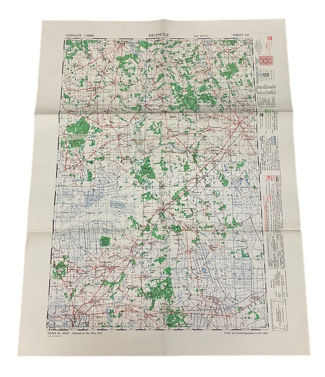
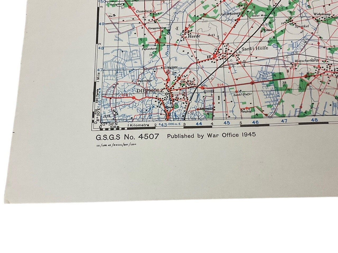
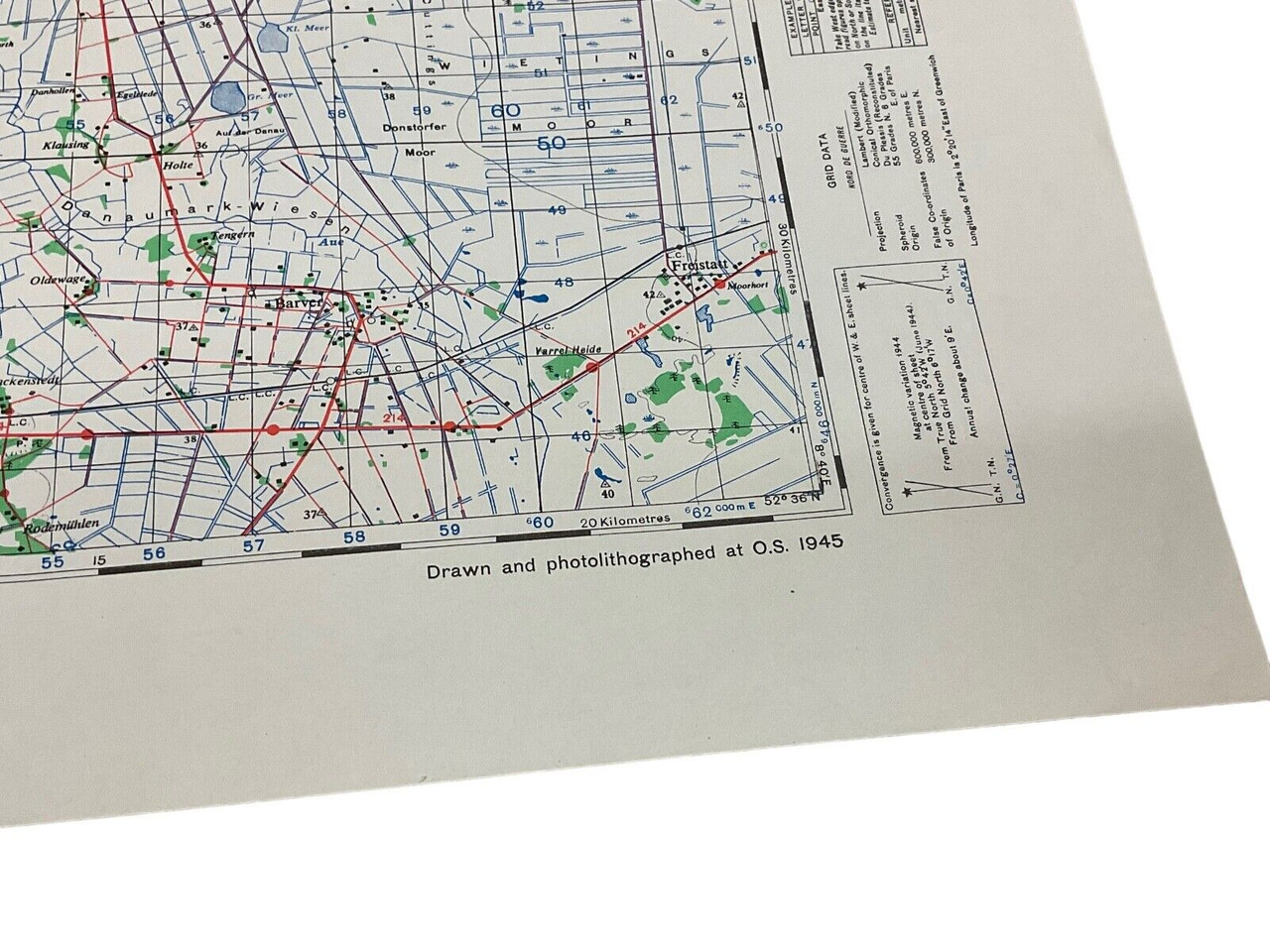
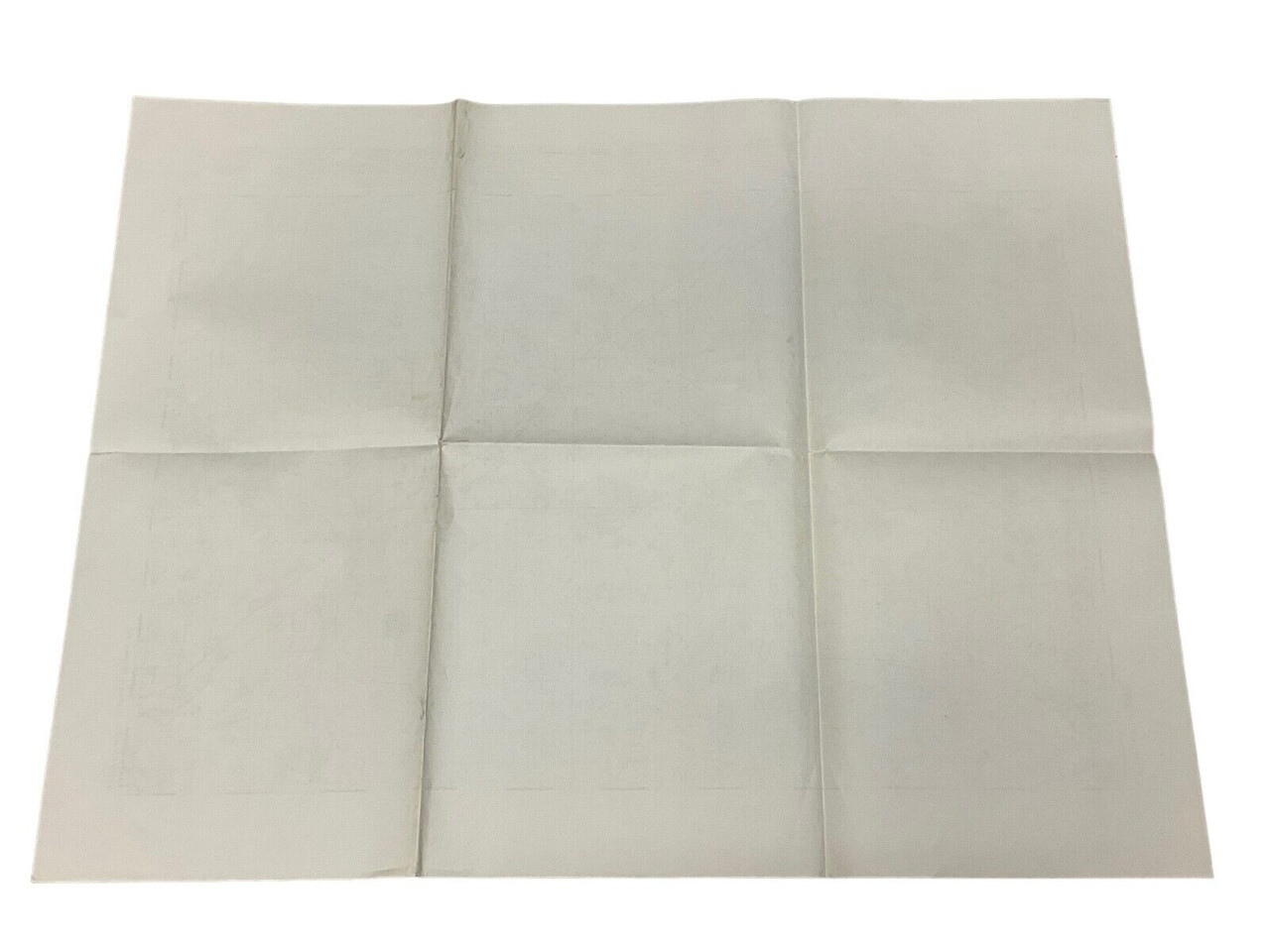
This historical artifact is a meticulously detailed map produced by the British Canadian War Office in 1945, during the final year of World War II. Measuring 24 x 30 inches, this map focuses on Diepholz, Germany, and is designated as Sheet 153. It represents a crucial piece of wartime cartography, providing strategic insights and geographical information essential for military operations. The map’s clear delineation of terrain, infrastructure, and significant landmarks would have been vital for planning troop movements and logistical support. This piece has a plain reverse, emphasizing the carefully detailed front that offers a snapshot of the era’s meticulous military planning efforts. An invaluable resource for historians, collectors, and WWII enthusiasts, this map encapsulates a defining moment in history, reflecting the precision and dedication of wartime cartographers.
WW2 British Canadian War Office 1945 Map Of Diepholz Germany Sheet 153 24×30
$15.00
WW2 British Canadian War Office 1945 Map Of Diepholz Germany Sheet 153, 24 x 30 inch, plain reverse
Out of stock
Shop Similar Items| Conflict | WW II (1939-45) |
|---|---|
| Country | Canada |
| Original/Reproduction | Original |
| Theme | Militaria |

