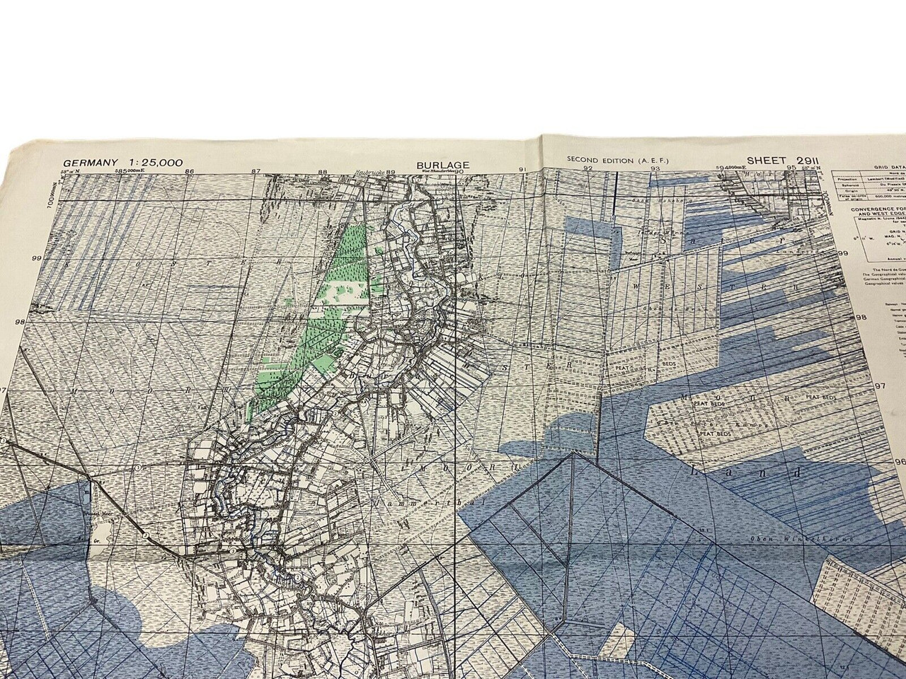
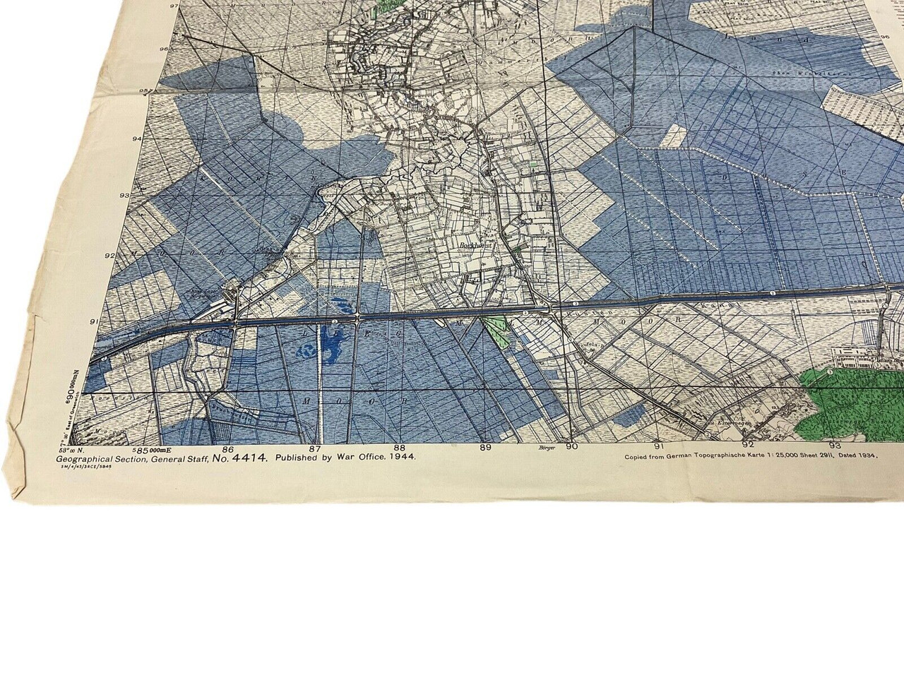
This meticulously detailed 1944 map, titled “WW2 British Canadian War Office 1944 Map of Burlage, France,” is an exceptional piece of historical cartography. Created by the British Canadian War Office during the height of World War II, the map is formally identified as Sheet 2911 and measures approximately 24 x 19 inches. It offers an invaluable glimpse into the strategic considerations of the Allied forces in France during the war. Rendered with precision, the map captures the topographical nuances and key landmarks of Burlage, providing both strategic military insights and a poignant historical artifact. The map’s plain reverse emphasizes its utilitarian purpose for wartime navigation and planning. This historical document is not only a testament to wartime cartography but also a captivating collector’s item for those interested in World War II history, military strategy, or antique maps.
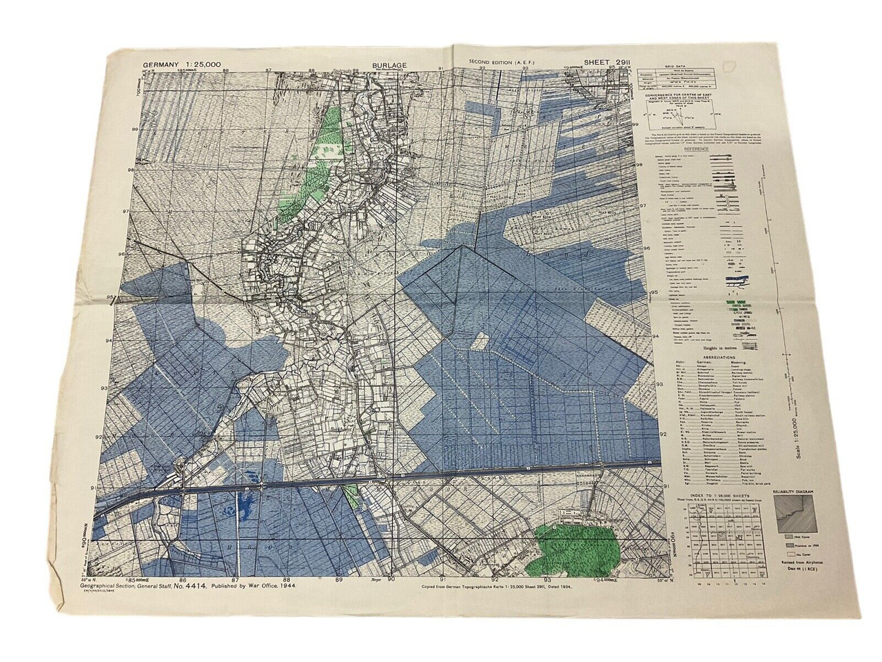
WW2 British Canadian War Office 1944 Map Of Burlage France Sheet 2911 Size 24×19
$15.00
WW2 British Canadian War Office 1944 Map Of Burlage France Sheet 2911 Size 24×19 inches appx, plain reverse.
Availability: Only 1 left in stock
| Conflict | WW II (1939-45) |
|---|---|
| Country | Canada |
| Original/Reproduction | Original |
| Theme | Militaria |