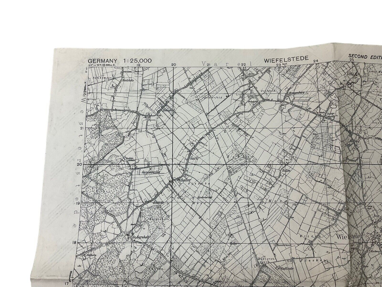
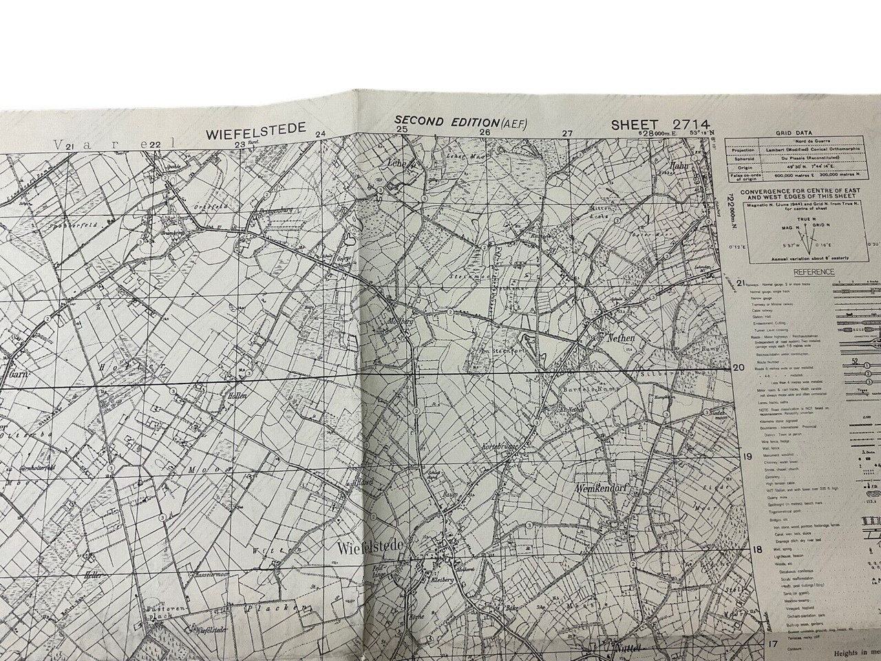
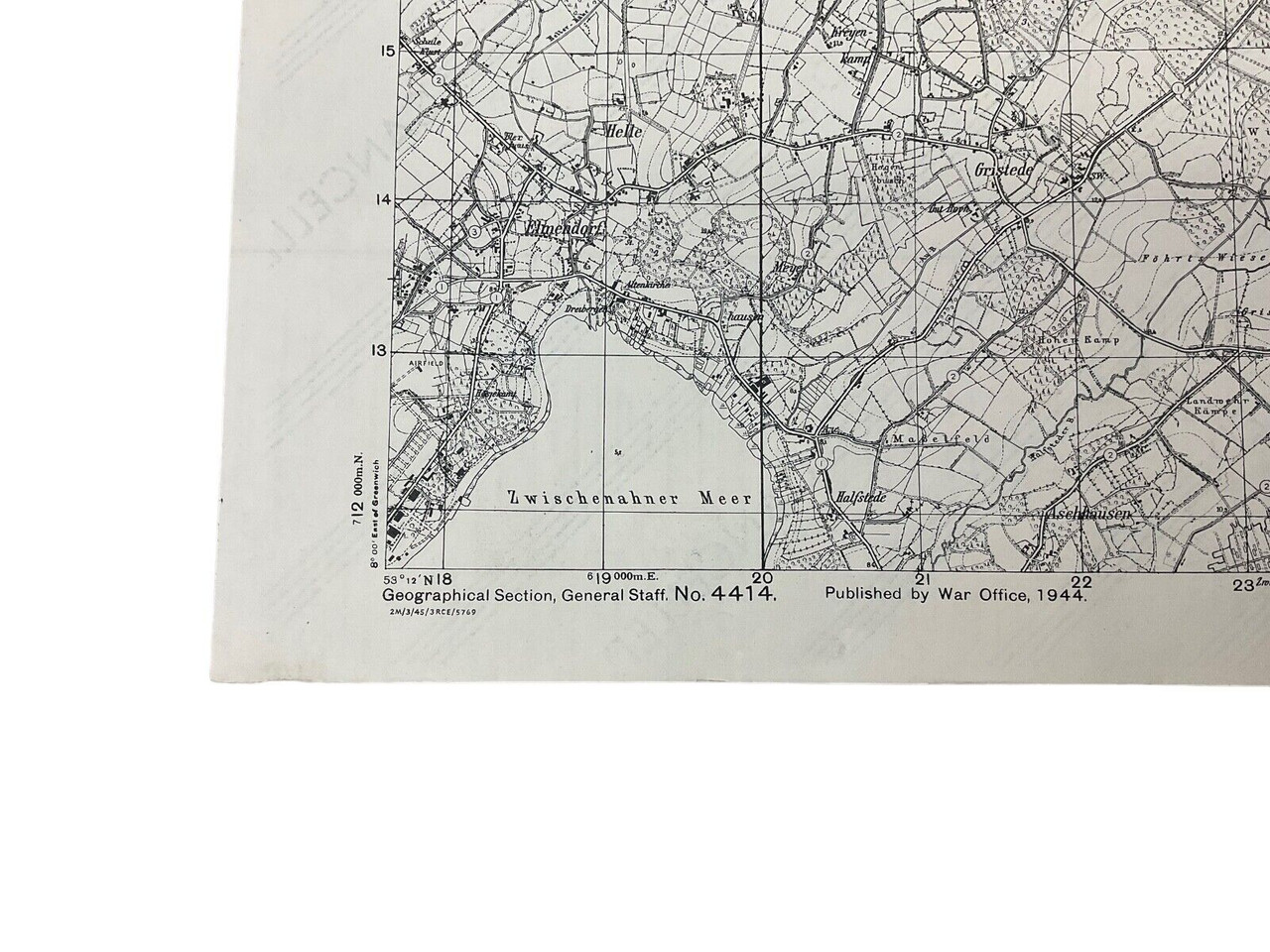
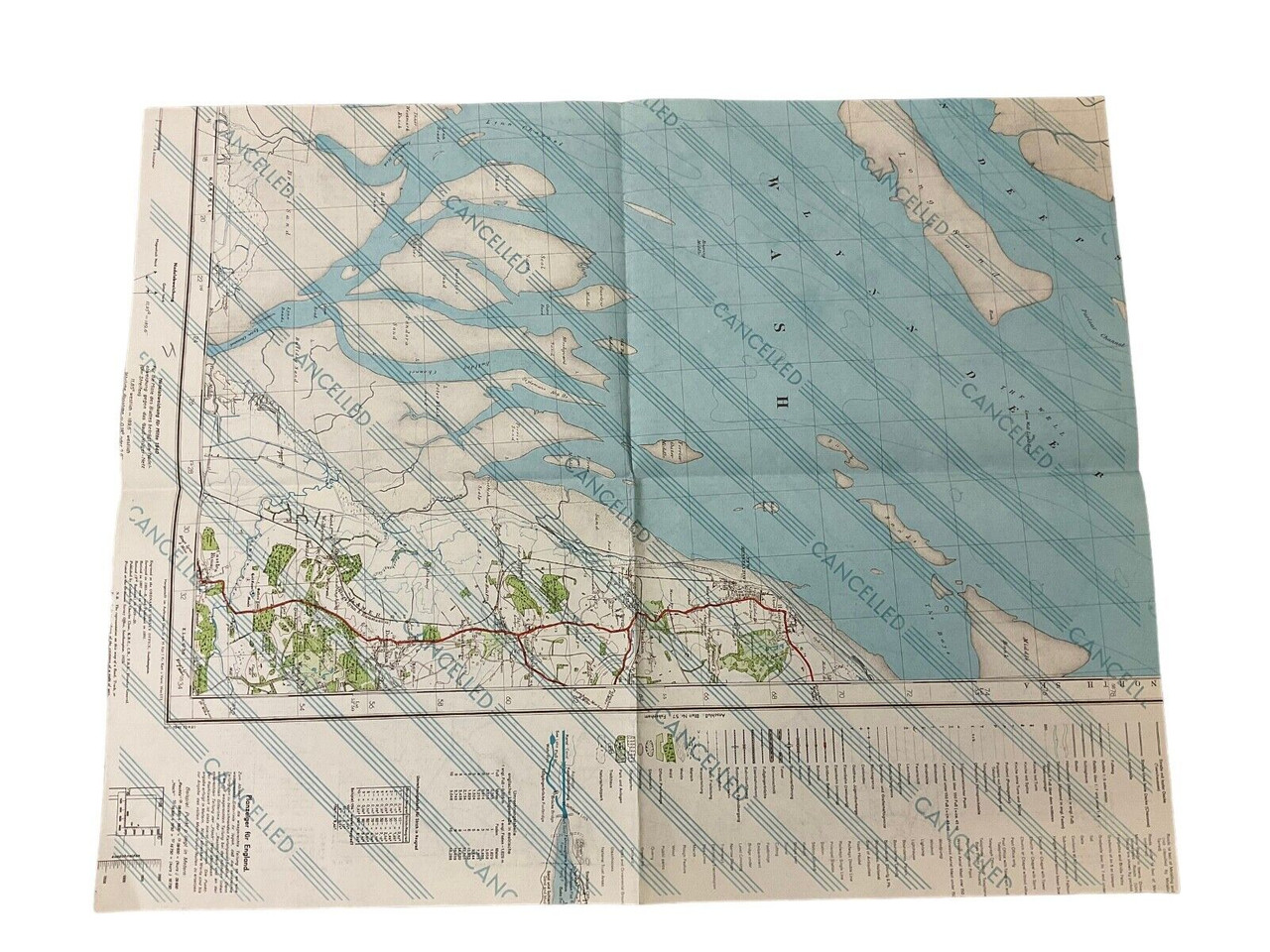
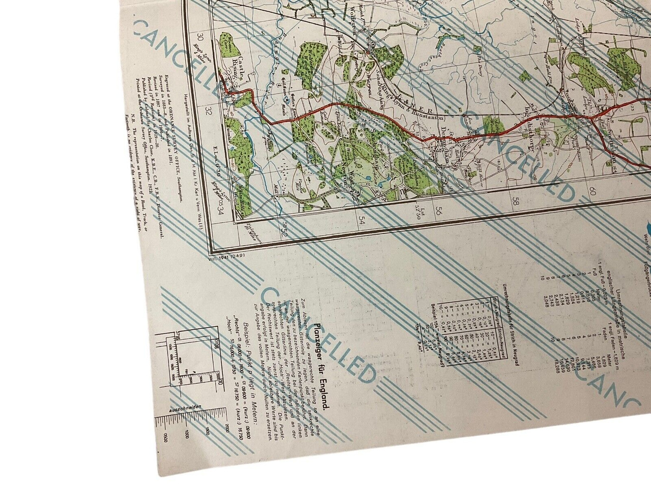
The item titled “WW2 British Canadian War Office 1944 Dated Map Of Wiefelstede Germany Sheet 2714” is a historic cartographic artifact from World War II, specifically dated from 1944. This map was produced by the War Office, a joint effort of British and Canadian military forces, underscoring the cooperation between these allies during the war. Covering Sheet 2714, it meticulously details Wiefelstede, a location in Germany. Measuring approximately 24 by 19 inches, this map offers a comprehensive glimpse into strategic maneuvers and regional geography pertinent to the period. Remarkably, it is printed on the rear of a previously used German map, adding a unique layer of historical and tactical context. Collectors and historians would find this artifact invaluable, as it encapsulates a moment of collaboration and strategy pivotal to the European theatre of World War II.
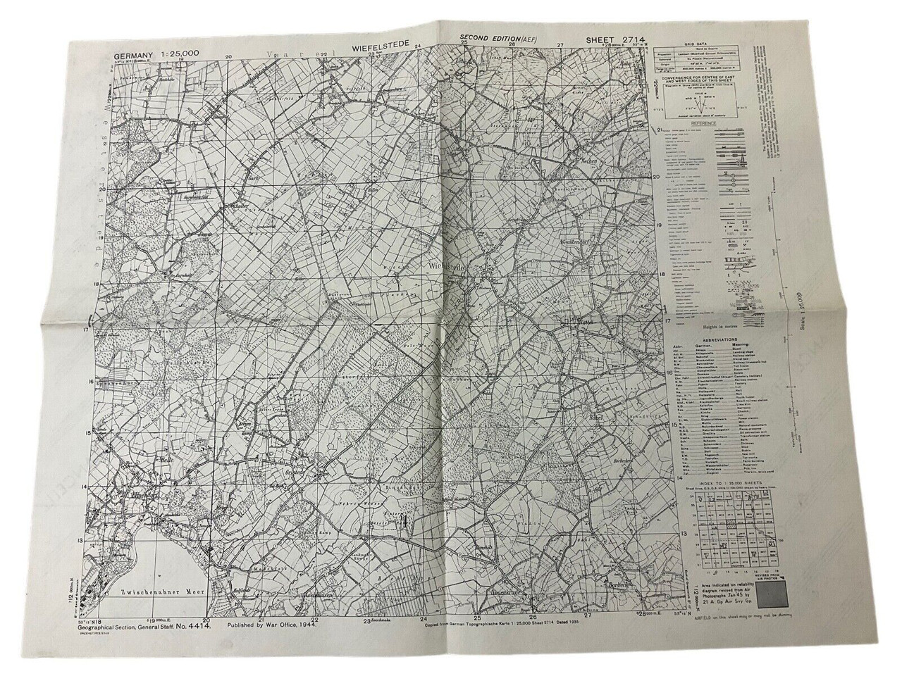
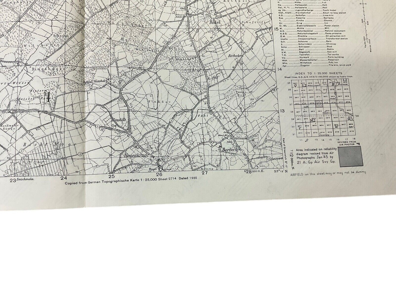
WW2 British Canadian War Office 1944 Dated Map Of Wiefelstede Germany Sheet 2714
$15.00
WW2 British Canadian War Office 1944 Dated Map Of Wiefelstede Germany Sheet 2714, size 24 x 19 appx printed on rear of used German map
Availability: Only 1 left in stock
Related products
-
WW2 Militaria
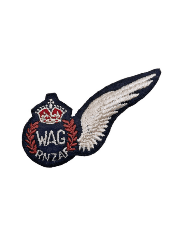
WW2 New Zealand Air Force RNZAF Wireless Air Gunner WAG Wing Padded
$125.00 Add to cart