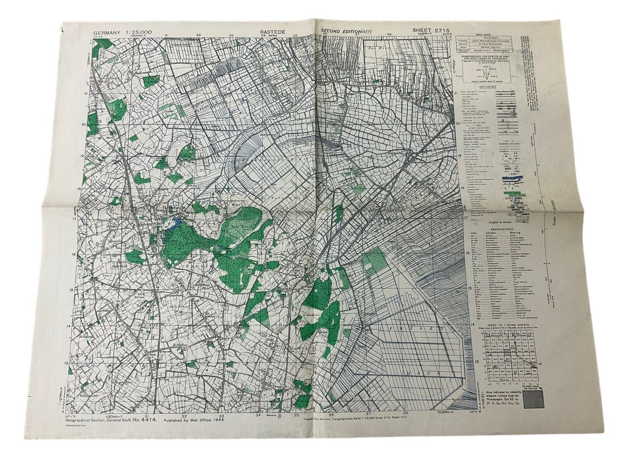
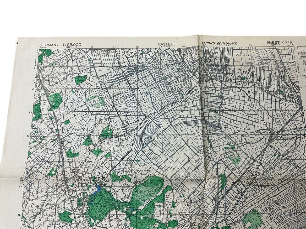
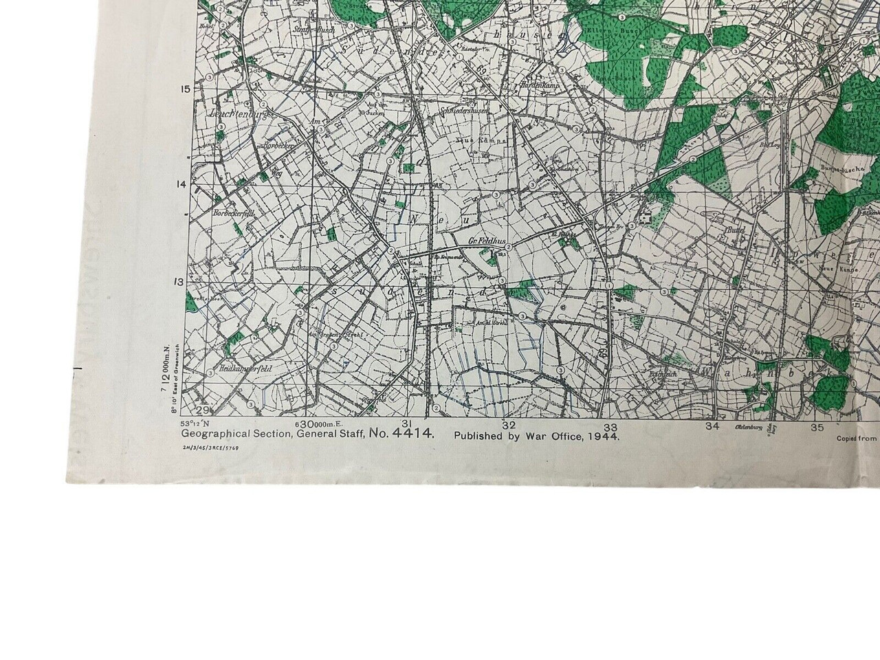
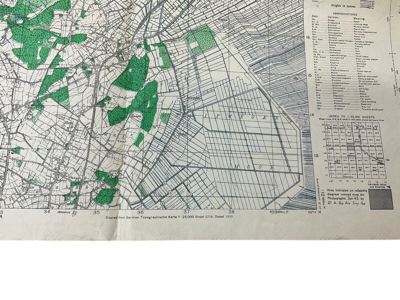
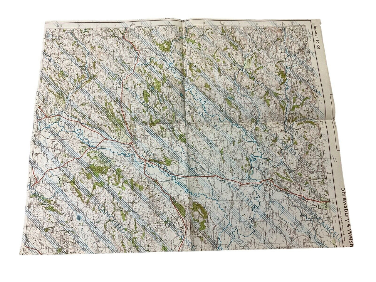
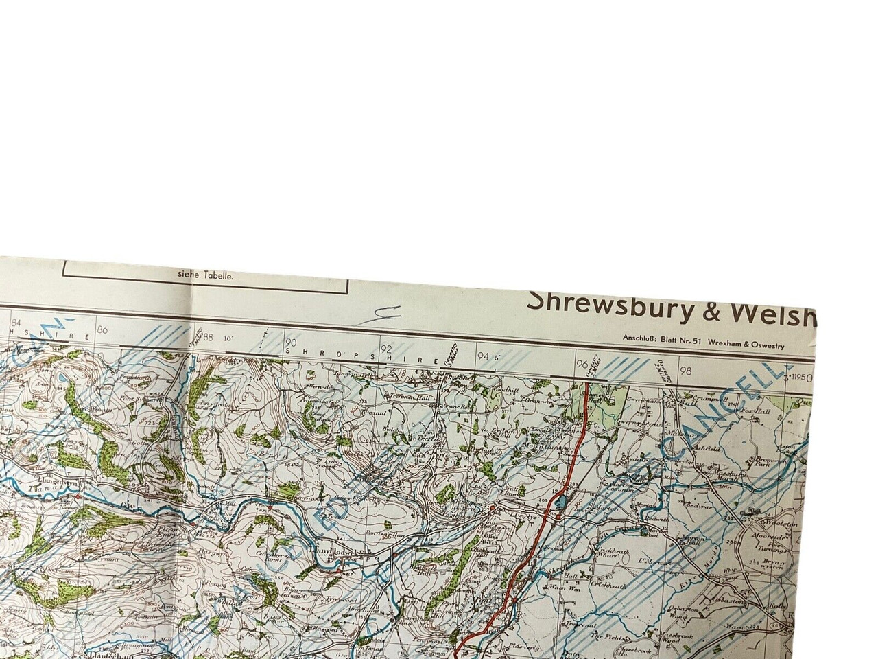
This historical artifact is a WW2 British Canadian War Office map, dated 1944, detailing Rastede, Germany, designated as Sheet 2715. Measuring approximately 24 x 19 inches, this map offers a unique glimpse into wartime cartography used during World War II. Meticulously produced, it highlights strategic locations and topographical features crucial to military planning and operations. Given its origin, it reflects the collaboration between British and Canadian forces during the conflict. Such maps were essential tools for navigation, troop movement, and strategizing. Collectors and history enthusiasts will find this piece particularly valuable, offering both a tangible connection to the past and insight into the geographic considerations of wartime Europe. This map not only represents a functional military document but also serves as a testament to the intricate planning and preparation involved in the wartime efforts of the Allied forces.
WW2 British Canadian War Office 1944 Dated Map Of Rastede Germany Sheet 2715
$15.00
WW2 British Canadian War Office 1944 Dated Map Of Rastede Germany Sheet 2715, size 24 x 19 inches appx
Availability: Only 1 left in stock
| Conflict | WW II (1939-45) |
|---|---|
| Country | Canada |
| Original/Reproduction | Original |
| Theme | Militaria |

