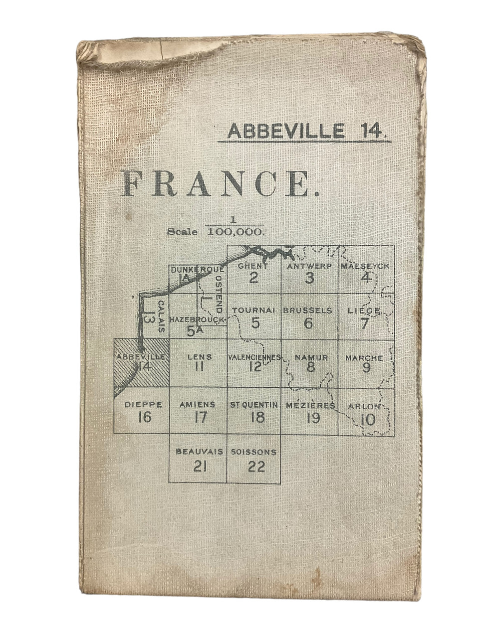
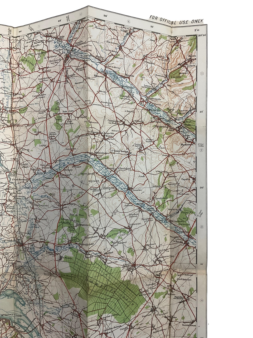
The “WW1 Abbeville 14 Trench Map” is a historical cartographic document from the First World War, detailing the intricate trench systems near Abbeville, France. This map illustrates the strategic layouts and defensive positions used by military forces, providing a crucial insight into the wartime geography of the Western Front. Meticulously drawn, it reveals the labyrinthine network of trenches, communication lines, and key landmarks, aiding historical scholars and enthusiasts in comprehending the tactical decisions faced by soldiers during the war. The map’s precision and detail underscore the logistical complexity and perilous conditions of trench warfare. An essential resource for historians and educators, the “WW1 Abbeville 14 Trench Map” encapsulates a pivotal moment in military history, shedding light on the challenges and strategies of World War I. It serves as both a tribute to those who served and a fascinating artifact for deepening our understanding of early 20th-century warfare.
WW1 Abbeville 14 Trench Map
$60.00
WW1 Abbeville 14 Trench Map
Availability: 1 in stock

