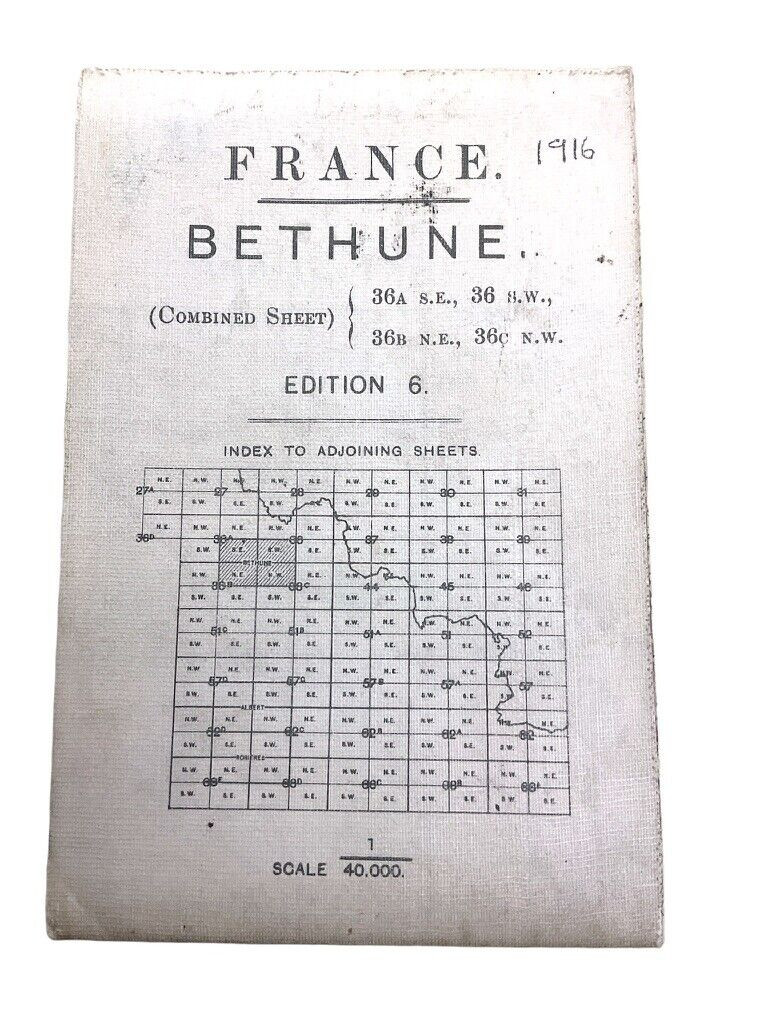
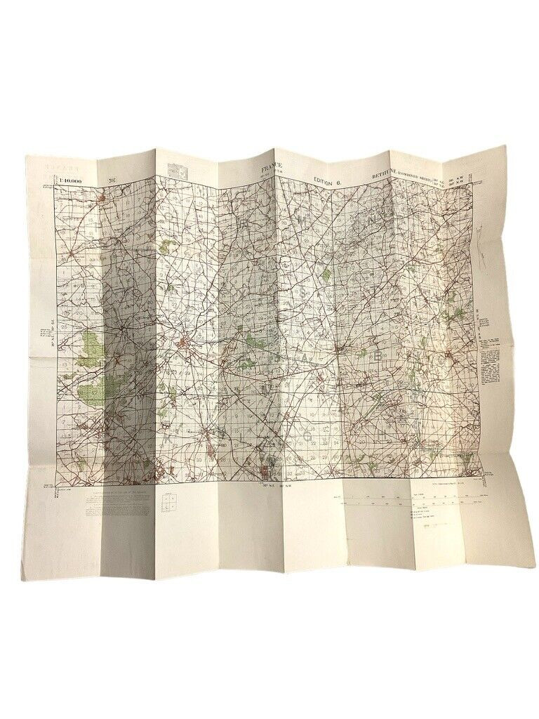
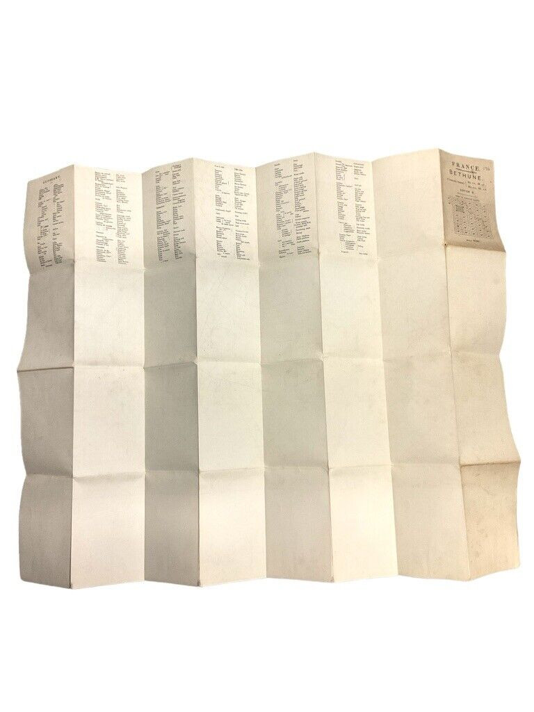
The ‘WW1 Canadian British Trench Map Bethune France Edition 6’ is a meticulously detailed historical artifact that provides profound insight into the strategic landscapes of World War I. This map, used by Canadian and British forces, focuses on the region around Béthune, France, an area of intense military significance during the Great War. Edition 6 offers updated topographical details, trench locations, artillery placements, and communication networks crucial for wartime navigation and strategy. The map not only reflects military precision but also bears the marks of the historical turbulence of the era. Ideal for historians, enthusiasts, and educators, it serves as a tangible connection to the battlefield experiences of the Allied forces, offering a unique glimpse into the complex and perilous world of trench warfare. This edition stands as a testament to the resilience and strategic ingenuity of wartime efforts in a pivotal region of the Western Front.
WW1 Canadian British Trench Map Bethune France Edition 6
$125.00
WW1 Canadian British Trench Map Bethune France Edition 6
Availability: Only 1 left in stock

