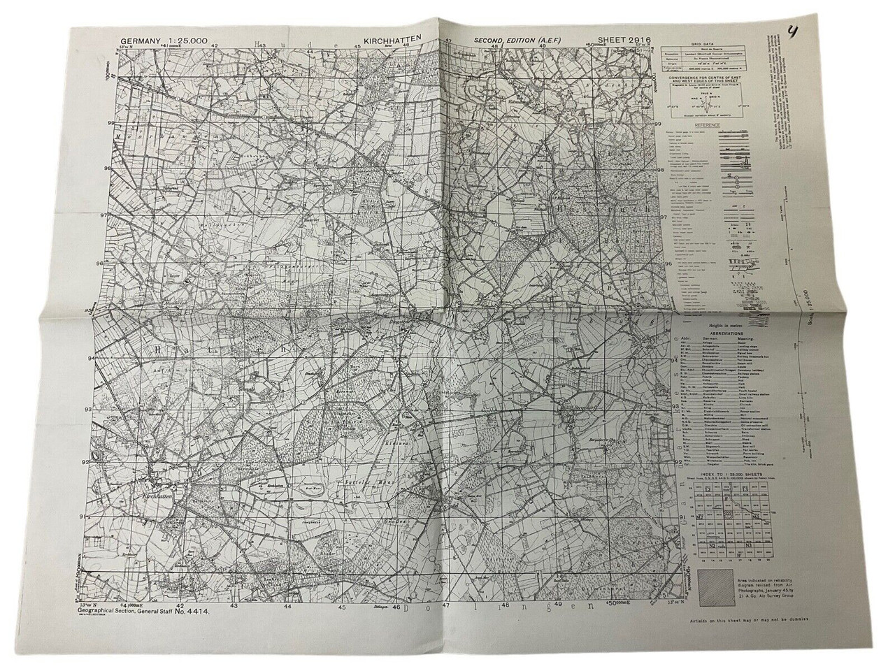
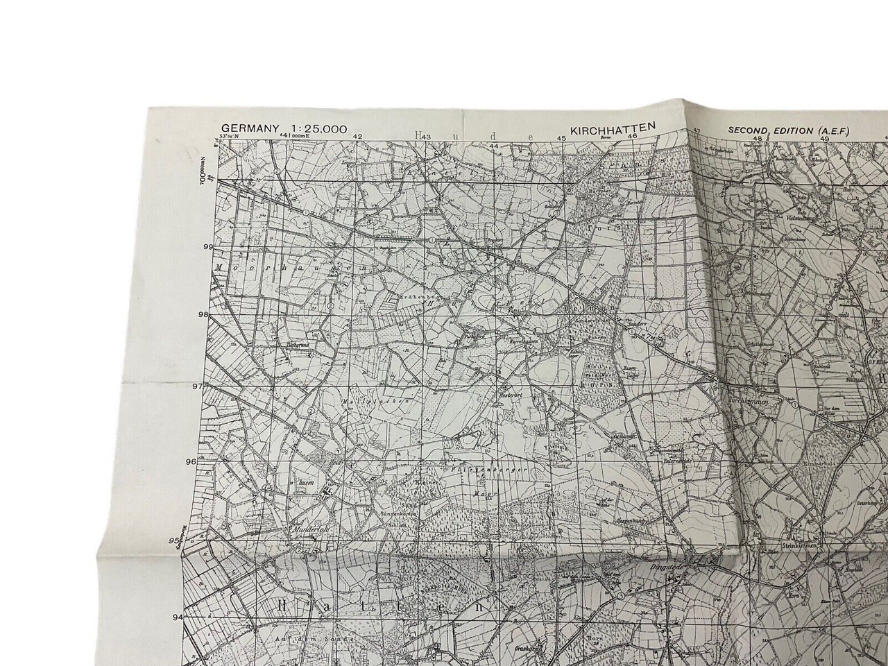
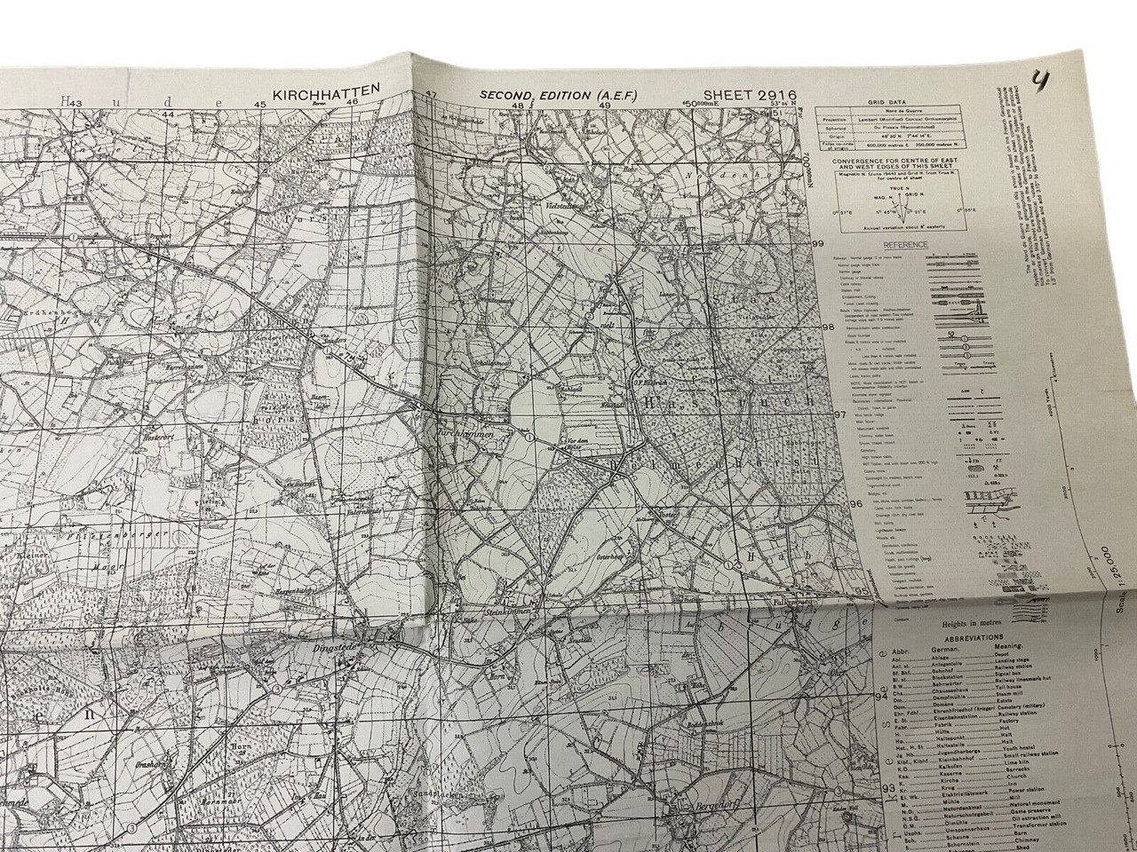
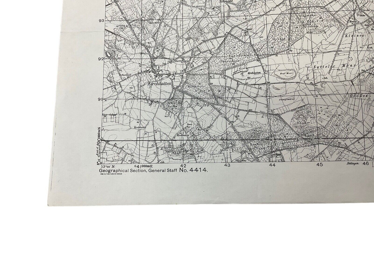
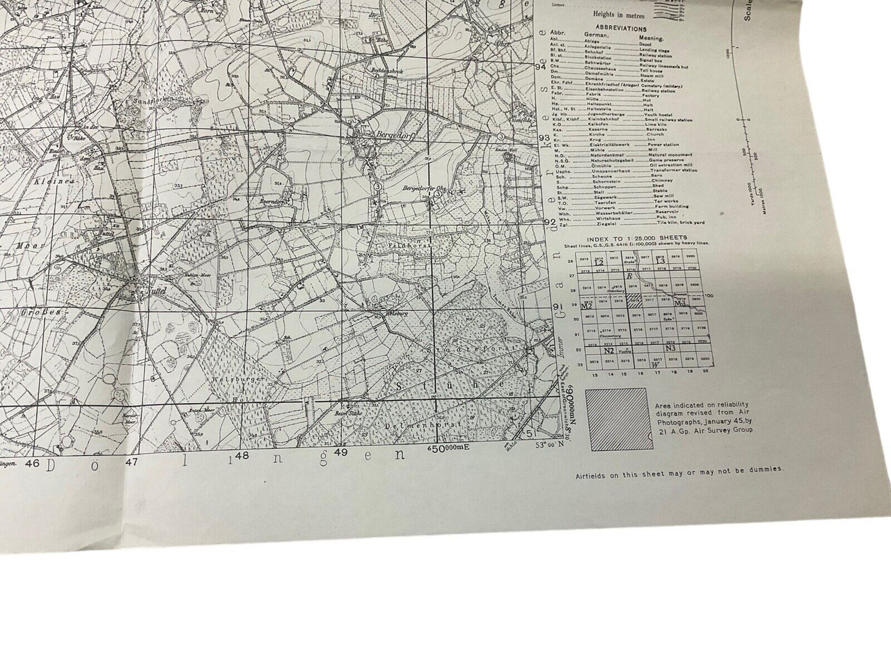
The ‘WW2 British Canadian War Office 1944 Dated Map Of Nortmoor Germany Sheet 2711’ is a historical cartographical document produced during the turbulent times of World War II. Dated 1944, this map was created by the combined efforts of the British and Canadian War Offices, showcasing the strategic importance of Nortmoor, Germany. Measuring approximately 24 x 19 inches, this detailed map served military personnel in navigating and planning operations within the region. The precision and detail of the map provide insights into the terrain, infrastructure, and potentially significant military positions of the era. Today, it stands as a valuable collector’s item for historians, cartography enthusiasts, and WWII history buffs, offering a tangible connection to the strategic complexities faced during the war. This map not only aids in understanding the geographical considerations of the time but also reflects the meticulous efforts of allied forces in their quest for victory.
WW2 British Canadian War Office 1944 Dated Map Of Nortmoor Germany Sheet 2711
$15.00
WW2 British Canadian War Office 1944 Dated Map Of Nortmoor Germany Sheet 2711, size 24 x 19 inches appx
Out of stock
Shop Similar Items| Conflict | WW II (1939-45) |
|---|---|
| Country | Canada |
| Original/Reproduction | Original |
| Theme | Militaria |

