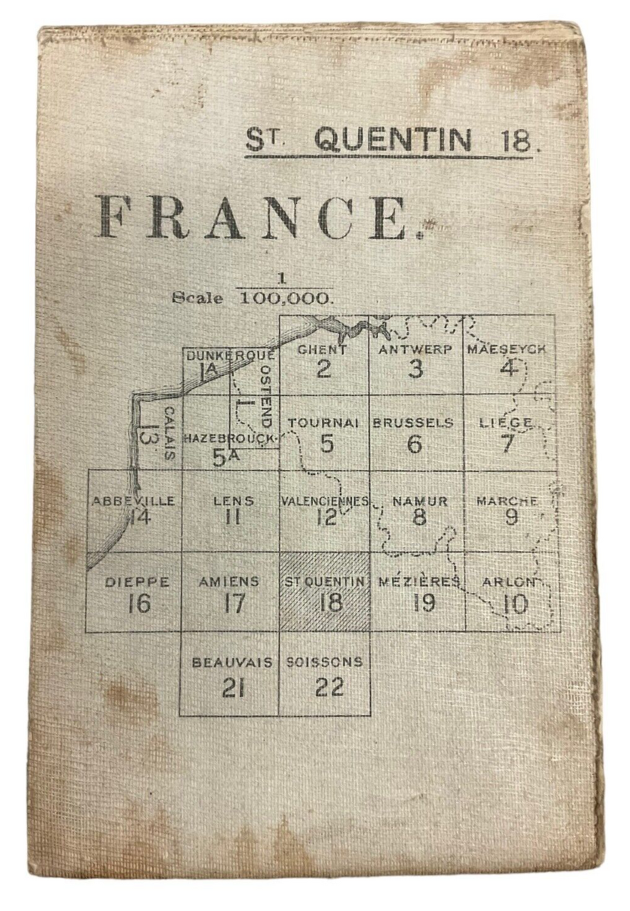
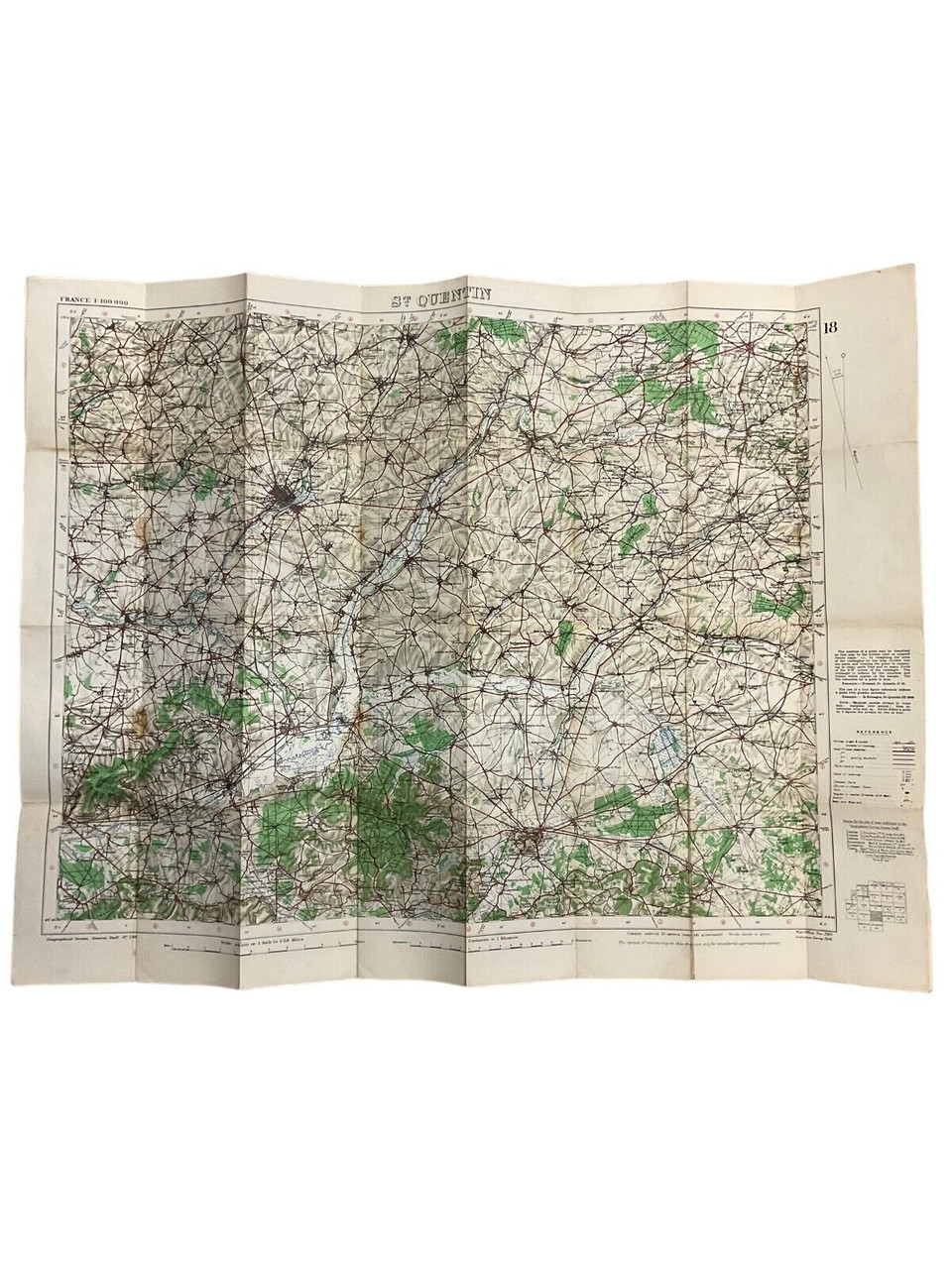
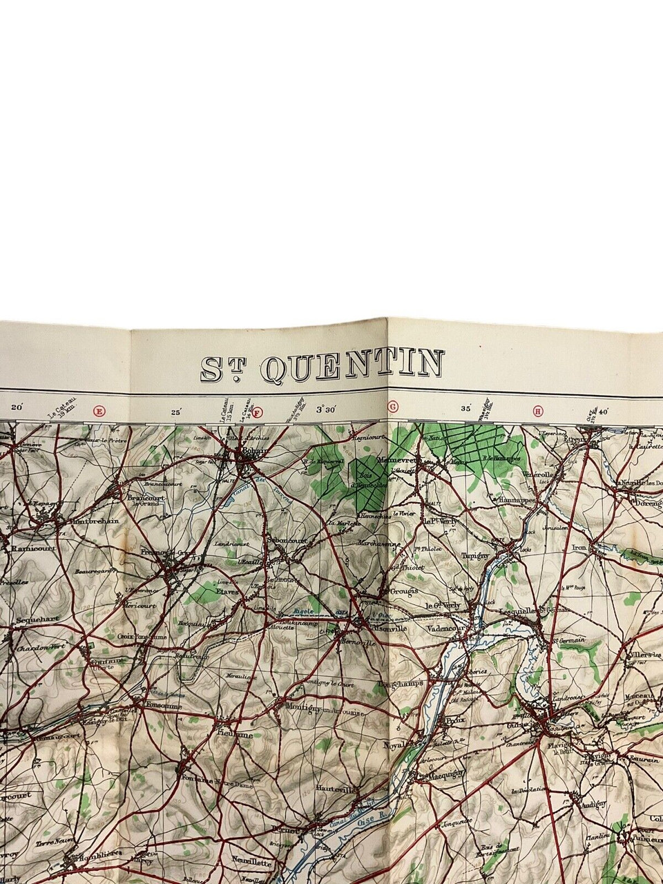
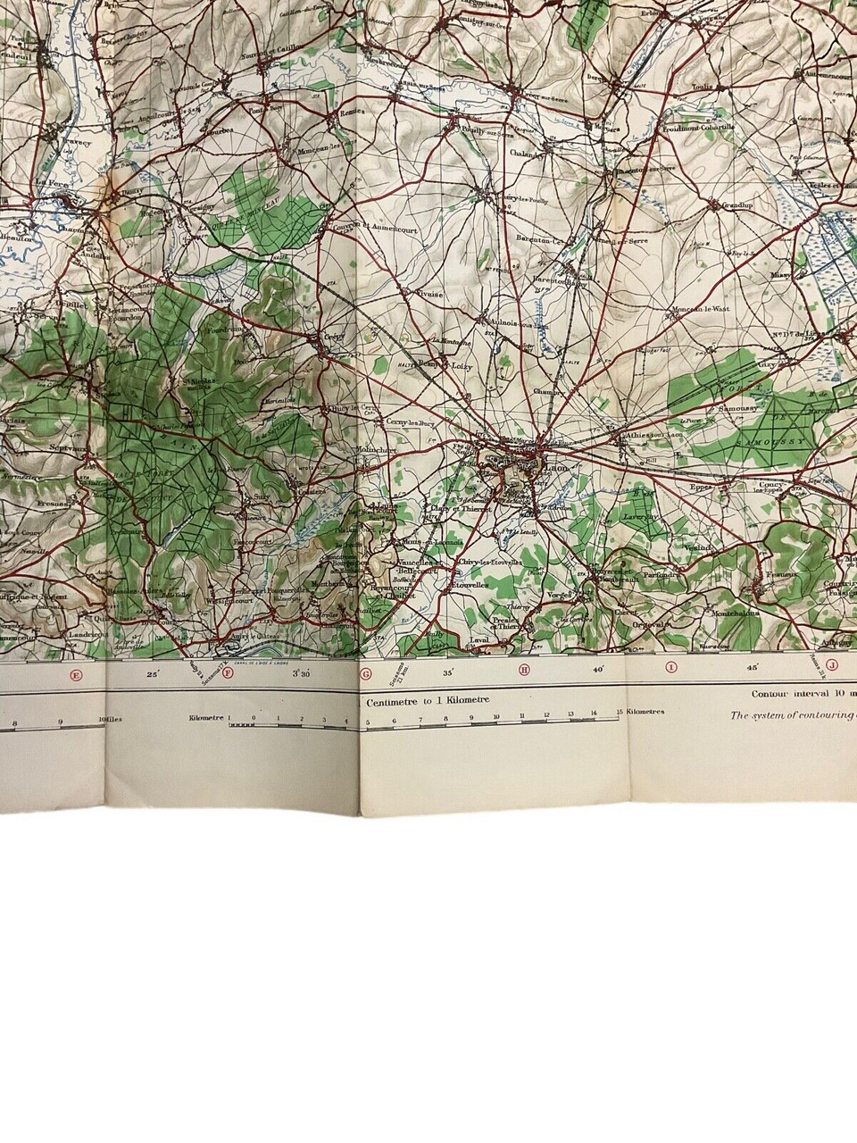
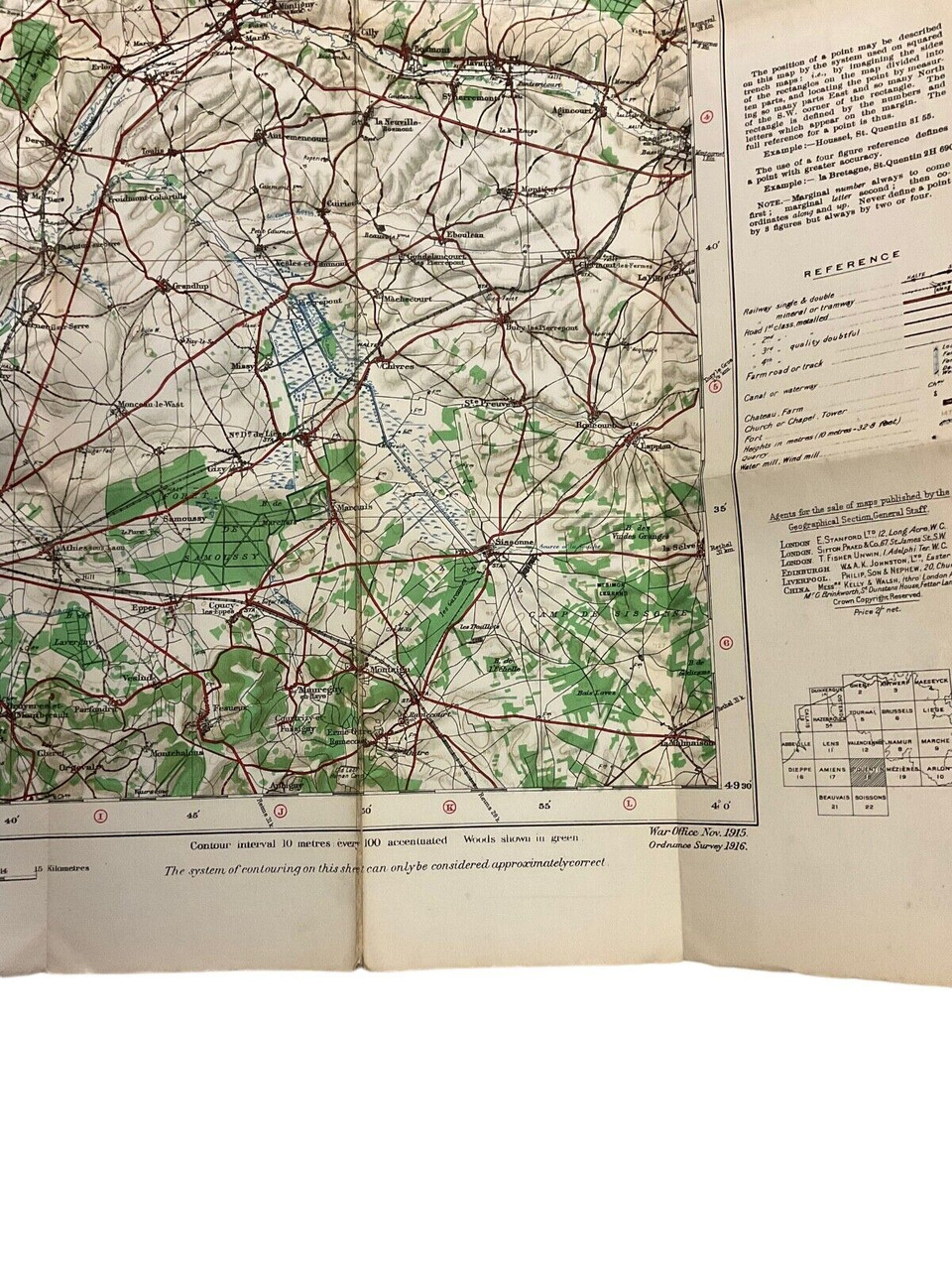
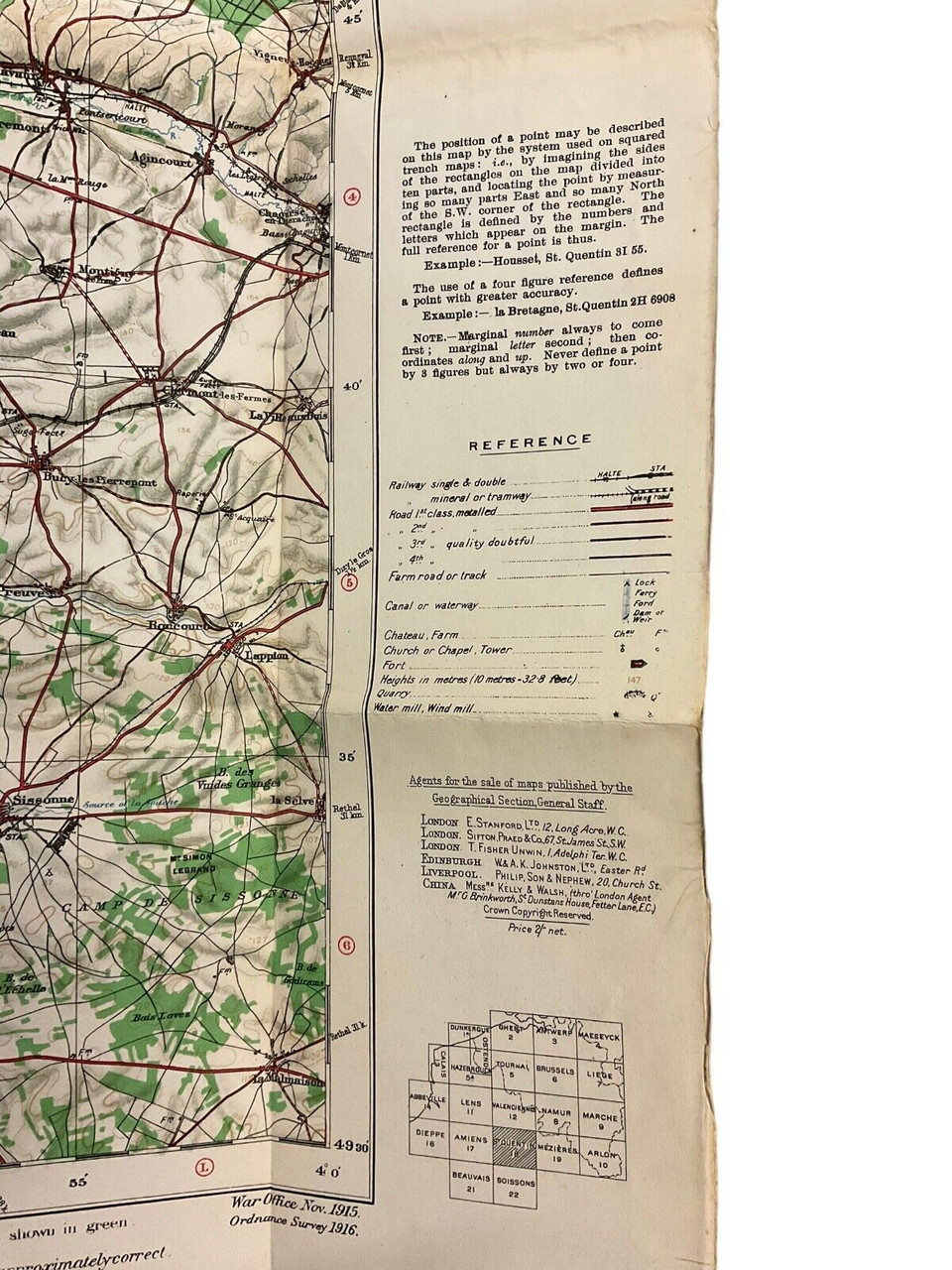
The “WW1 British Canadian BEF CEF Trench Map St Quentin No 18” is a historical artifact offering a unique glimpse into the strategic military operations of the British and Canadian soldiers during World War I. This detailed map was utilized by the British Expeditionary Force (BEF) and the Canadian Expeditionary Force (CEF) to navigate the intricate network of trenches around the St Quentin area. Map No 18 captures the meticulously planned trench systems, significant landmarks, and the topographical nuances of this crucial battlefield. It served as an essential tool for coordinating troop movements, planning offensives, and ensuring communication across the front lines. The trench map not only reflects the military strategies employed but also stands as a testament to the bravery and challenges faced by the Allied forces. Collectors and historians alike will find value in this piece for its rich historical context and the detailed representation of a pivotal WW1 theater.
WW1 British Canadian BEF CEF Trench Map St Quentin No 18
$125.00
WW1 British Canadian BEF CEF Trench Map St Quentin No 18
Availability: Only 1 left in stock
| Conflict | WW I (1914-18) |
|---|---|
| Country | Canada |
| Original/Reproduction | Original |
| Theme | Militaria |

